Very Difficult
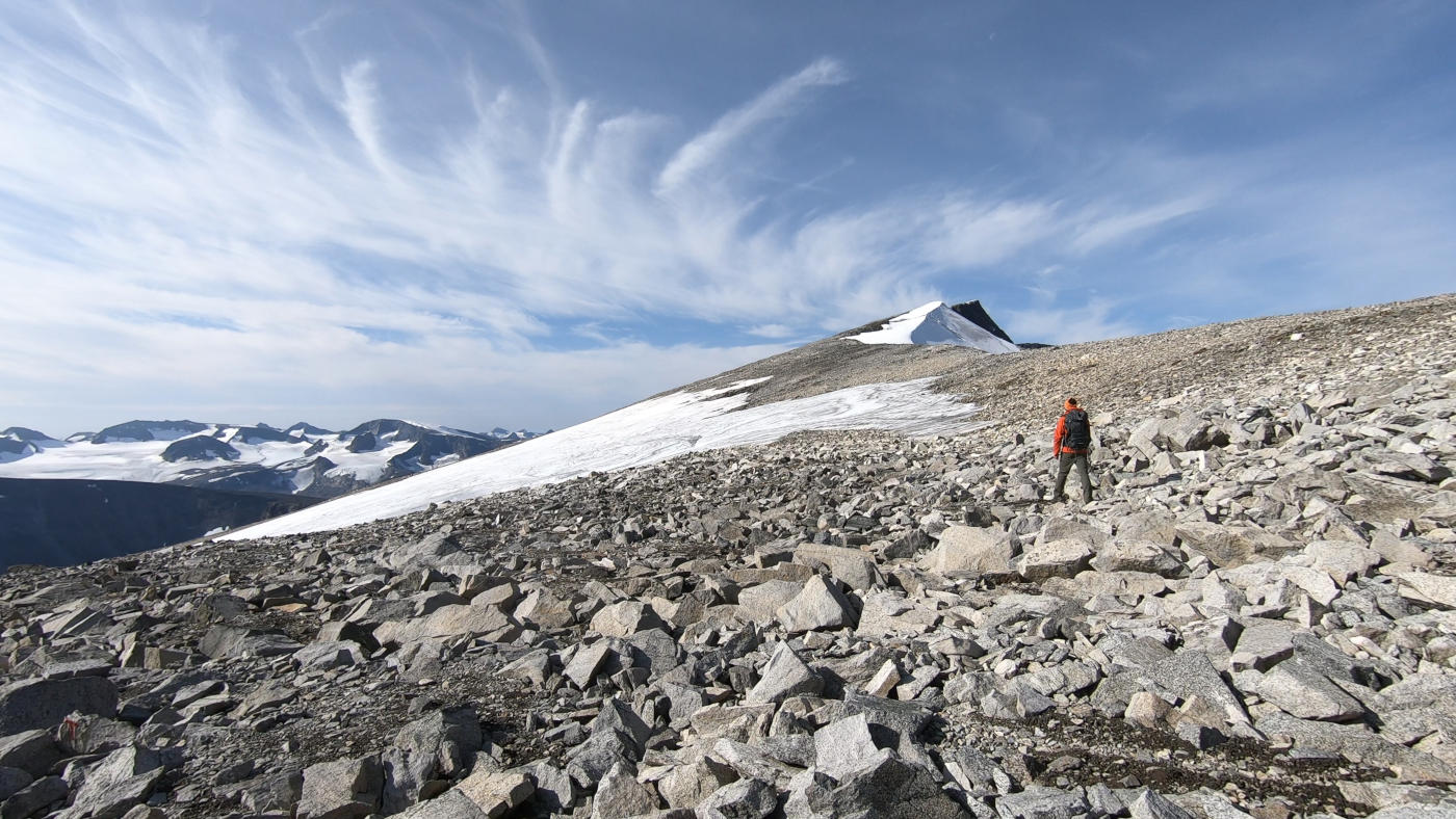
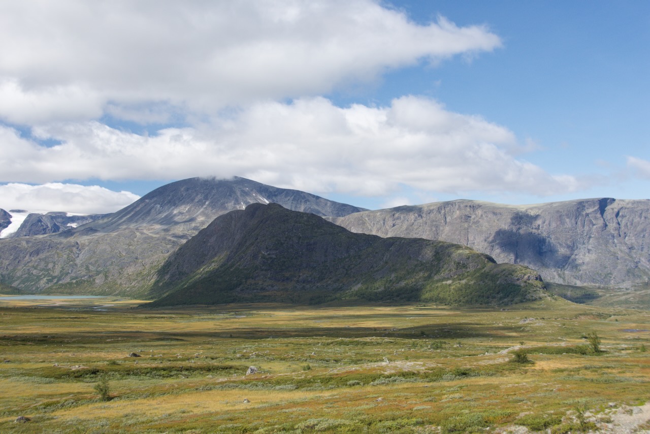
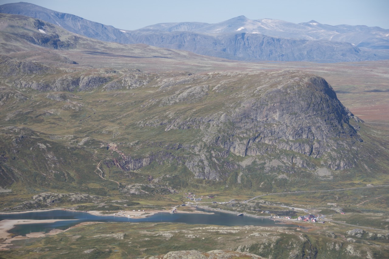
Galdhøpiggen is Norway's highest mountain at 2469 metres. It sits in Jotunheimen National Park and attracts thousands of hikers each year who want to stand on top of Norway.
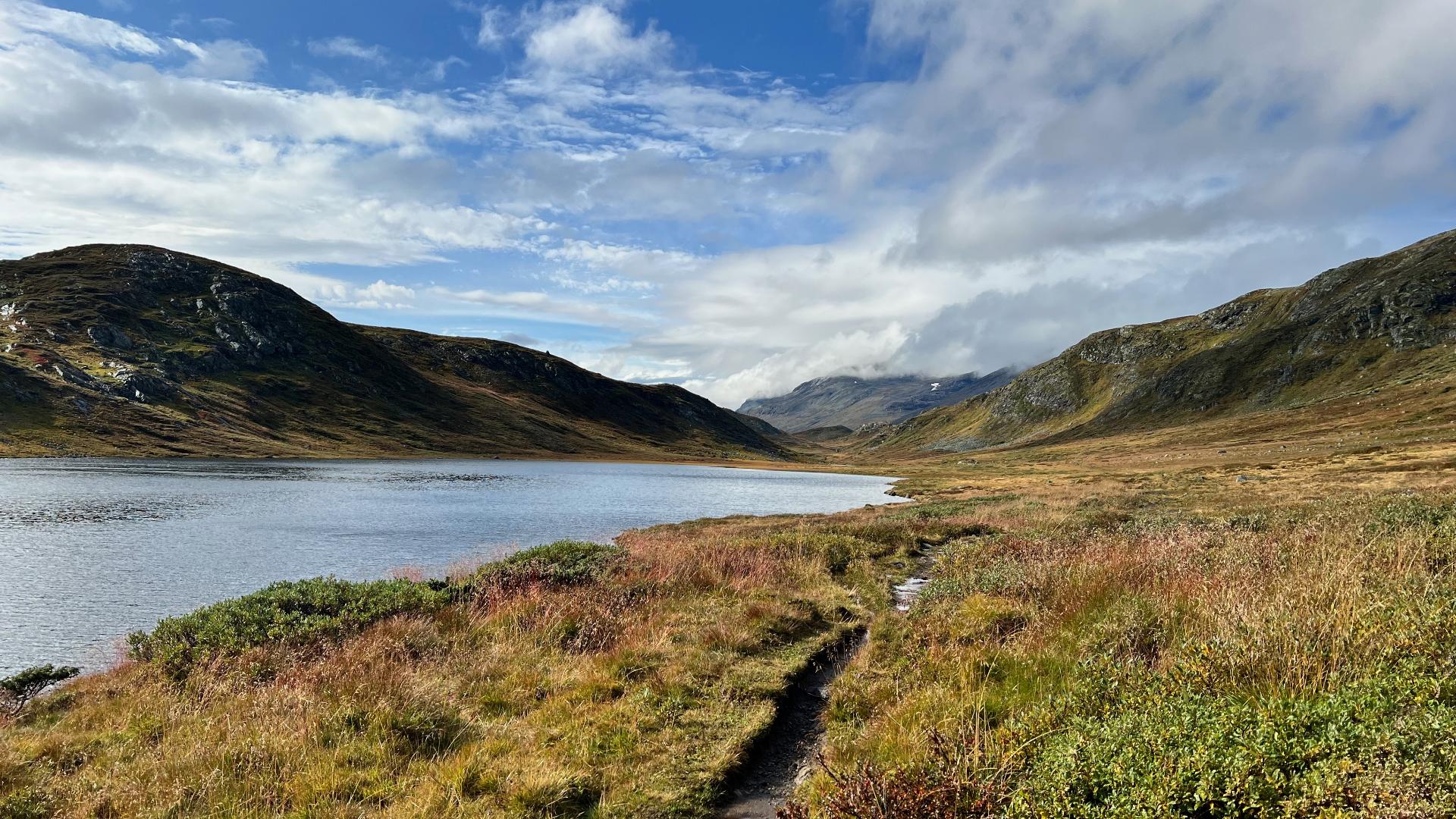
For many years, people thought Snøhetta was the country's tallest peak. Only precise measurements revealed that Galdhøpiggen actually holds that title. There are two routes to the summit. The longer one starts from Spiterstulen. It's 5.5 kilometres with 1500 metres of climbing. Plan 8 to 9 hours total. The path goes steadily uphill through scree fields where you'll need to watch for trail markers.
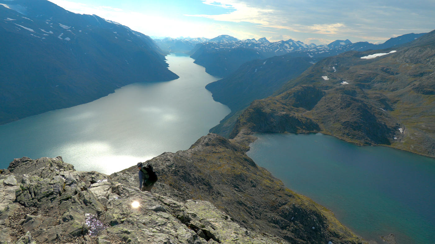
The shorter route begins at Juvasshytta but crosses the Styggebreen glacier. You must book a guide for this route. Glaciers have hidden crevasses that can kill you. Be aware that weather changes quickly up here.
Fog can roll in and make navigation dangerous. There's a small hut at the summit, but views aren't guaranteed. This is definitely not for beginners.
The difficulty rating is black due to the distance and elevation gain. But reaching the top of Norway is quite an achievement.
For many years, people thought Snøhetta was the country's tallest peak. Only precise measurements revealed that Galdhøpiggen actually holds that title. There are two routes to the summit. The longer one starts from Spiterstulen. It's 5.5 kilometres with 1500 metres of climbing. Plan 8 to 9 hours total. The path goes steadily uphill through scree fields where you'll need to watch for trail markers.
The shorter route begins at Juvasshytta but crosses the Styggebreen glacier. You must book a guide for this route. Glaciers have hidden crevasses that can kill you. Be aware that weather changes quickly up here.
Fog can roll in and make navigation dangerous. There's a small hut at the summit, but views aren't guaranteed. This is definitely not for beginners.
The difficulty rating is black due to the distance and elevation gain. But reaching the top of Norway is quite an achievement.