Difficult
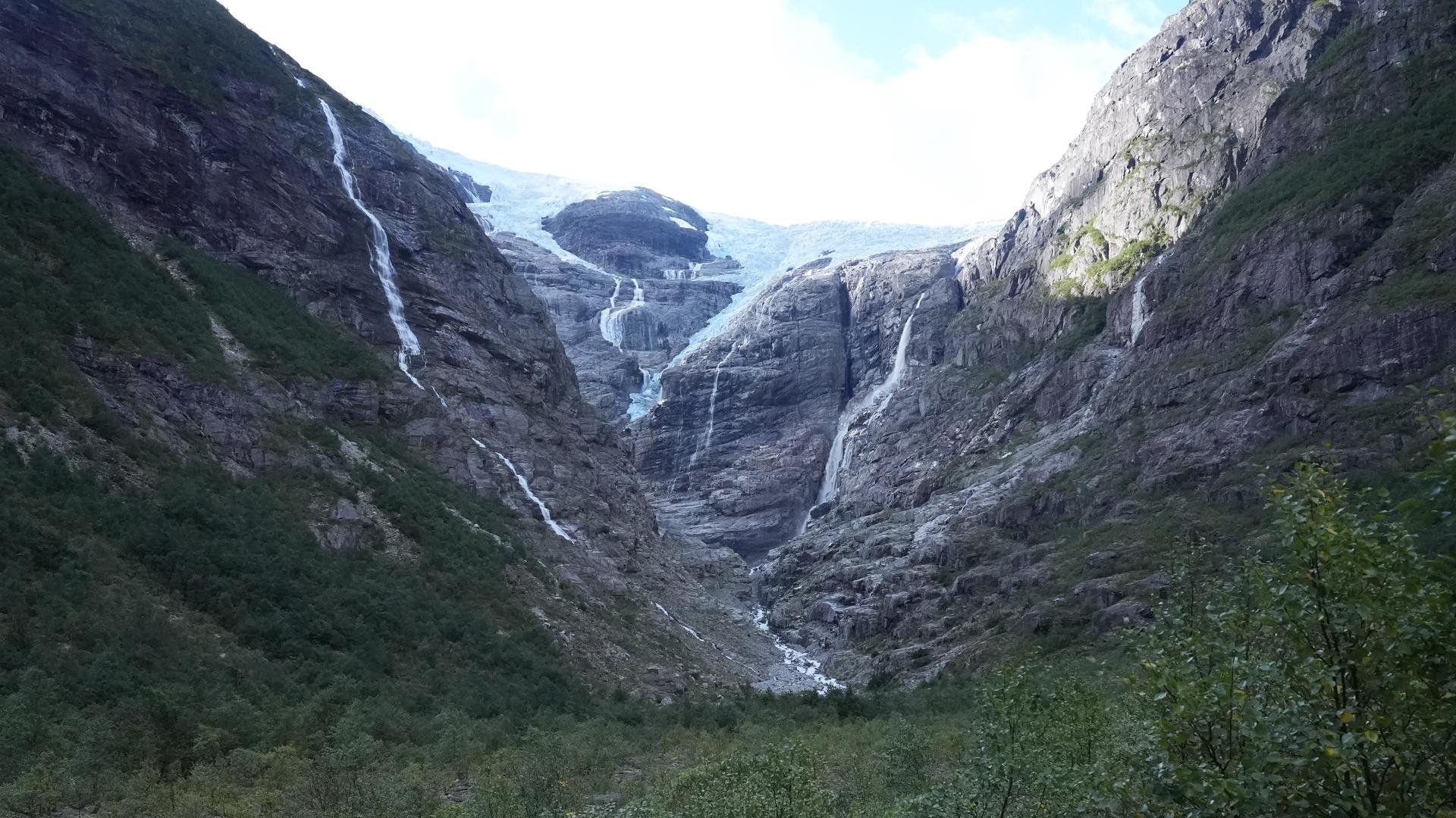
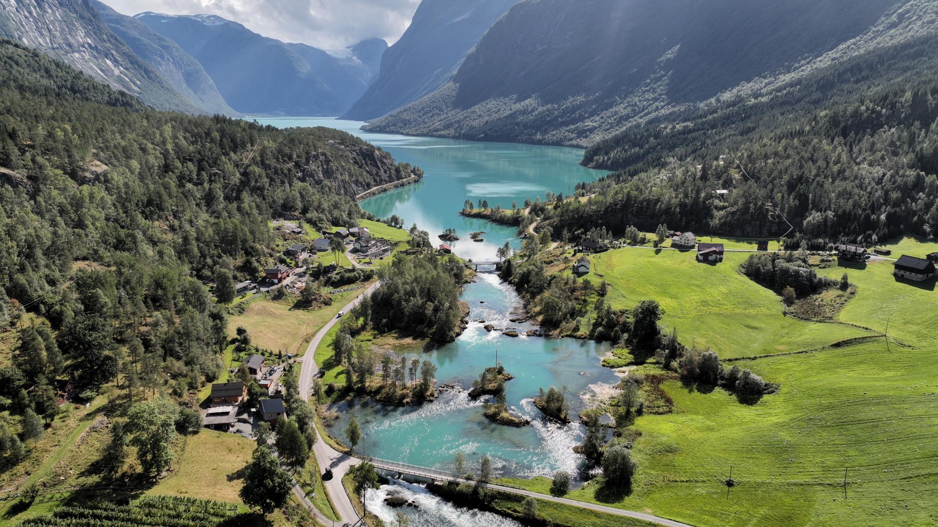
Austerdalsbreen is one of the most dramatic arms of the Jostedalsbreen glacier, and reaching it takes real effort. You start from Tungestølen tourist cabin in Veitastrond, then hike about two hours through a valley that was under ice not long ago. The glacier scraped this landscape clean. You walk on bare rock, past boulders dropped like afterthoughts, through terrain that looks more lunar than Norwegian.
The glacier itself splits into two icefalls as it tumbles down from the plateau. They call them Odinsbreen and Thorsbreen, named after the Norse gods, which gives you a sense of scale. The ice crashes down a 600-metre cliff face before merging into the tongue below. In the 1950s, a team of glaciologists used Austerdalsbreen to study how glaciers actually move. They drilled holes, planted stakes, and measured. The glacier taught them that ice doesn't just slide. It deforms, cracks, and flows like extremely slow liquid.
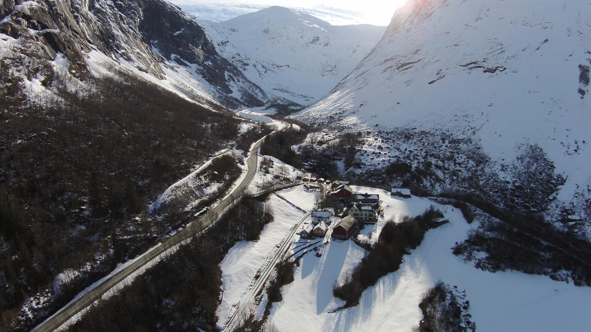
The hike is not technically difficult, but it is long. Budget a full day. The path is marked with cairns and paint, but parts cross steep rock slabs that get slippery when wet. Do not approach the ice face. Glaciers calve without warning, and the rocks around the terminus are unstable. The glacier has retreated significantly since the 1990s, so what you see in older photos may not match what's there today.
The glacier itself splits into two icefalls as it tumbles down from the plateau. They call them Odinsbreen and Thorsbreen, named after the Norse gods, which gives you a sense of scale. The ice crashes down a 600-metre cliff face before merging into the tongue below. In the 1950s, a team of glaciologists used Austerdalsbreen to study how glaciers actually move. They drilled holes, planted stakes, and measured. The glacier taught them that ice doesn't just slide. It deforms, cracks, and flows like extremely slow liquid.
The hike is not technically difficult, but it is long. Budget a full day. The path is marked with cairns and paint, but parts cross steep rock slabs that get slippery when wet. Do not approach the ice face. Glaciers calve without warning, and the rocks around the terminus are unstable. The glacier has retreated significantly since the 1990s, so what you see in older photos may not match what's there today.